Our Services
-
Visualize potential issues before you break ground through the use of open source GIS data.
Major Utility Locations
FEMA Flood Zones, NHD Streams, NWI Wetlands & Water Table Depth
Soil Type, Hydric Soils, NRCS Buildability Report
Karst Formations & Sinkholes
T&E Critical Habitat and IPaC Species Reports
Protected Lands, National Cultural & Historical Sites
Prime Farmland & Farms Under Threat
Corrosion Potential for Concrete & Steel
Airports, Railroads, Cell Towers & Military Bases
National Risk Index
Land Use/Land Cover
-
Inform your decision making process with greater understanding of the hydrology of the site.
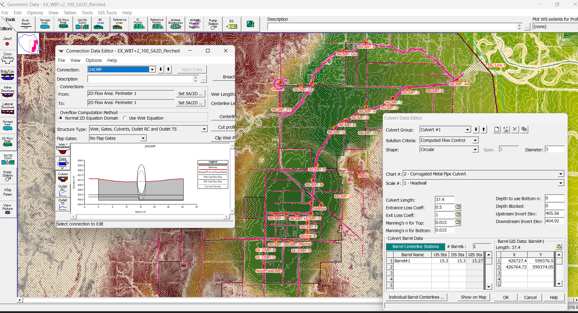
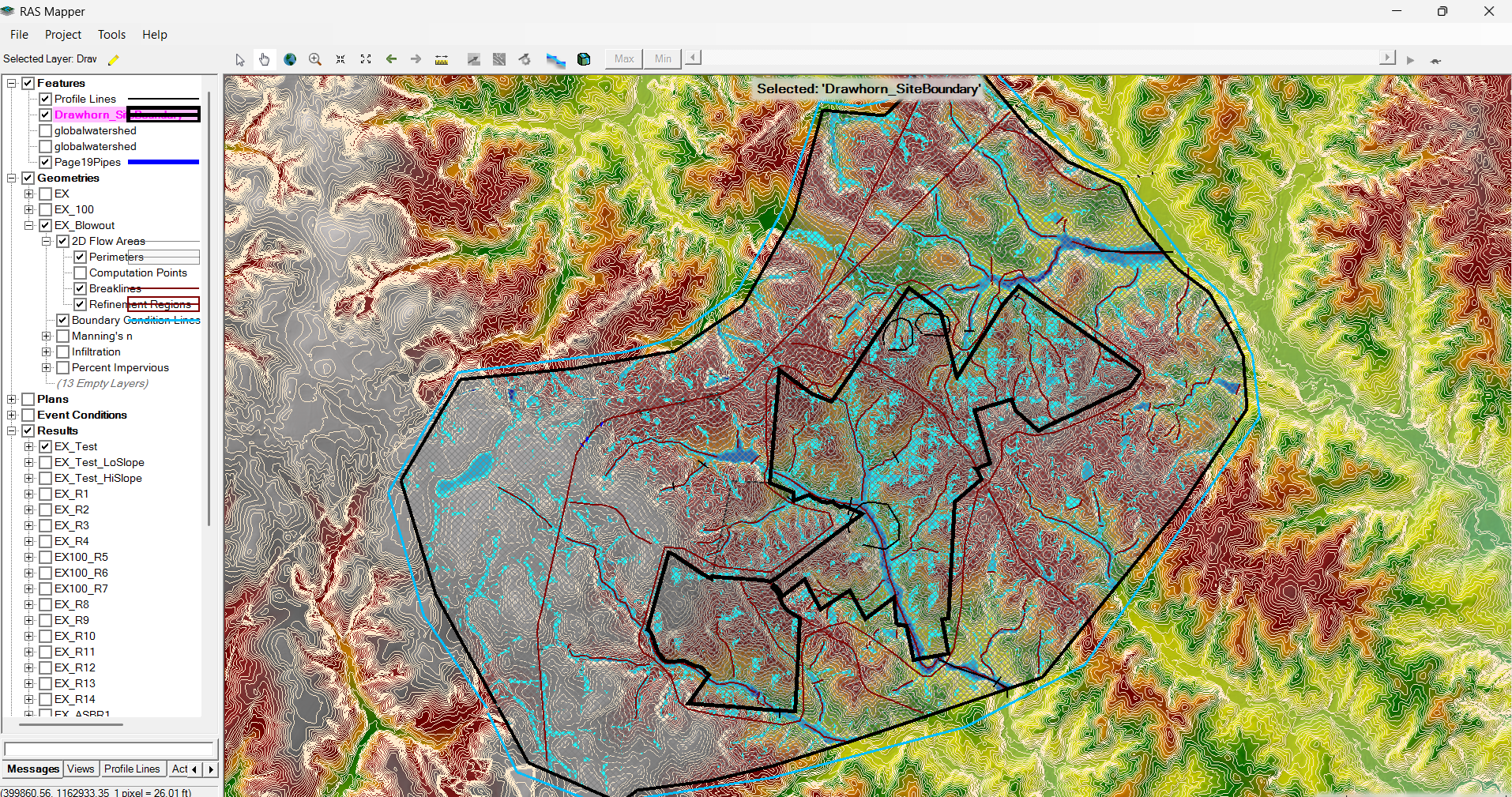
Fully developed and calibrated HEC-RAS 2D Models
Early Risk Analysis
100, 500 & 1,000-year Storms
-
Licensed SUAS Operator
Residential and Commercial Real Estate
Site Recon
Construction Management & Progress Tracking
LiDAR Collection & Processing
Serving Buncombe, Madison, Yancey, Haywood, Henderson & Polk Counties in North Carolina. Outside radius with travel fee.
-
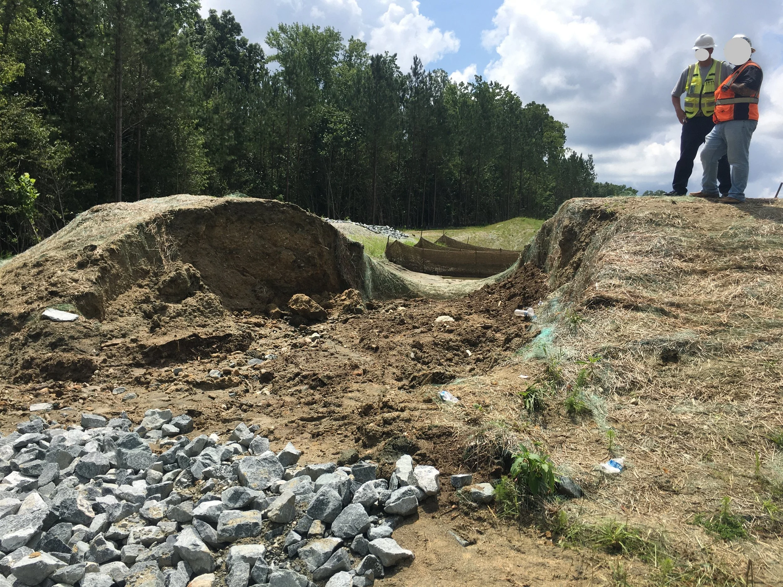
When your best efforts are beaten by mother nature, you may have to improvise.
What failed, where did it fail & why?
Did you violate turbidity standards?
Are other structures showing signs of similar failure?
What’s the best path forward?
-
From ponding to erosion, water can cause serious problems that are difficult to identify. There’s always a solution, sometimes you just have to put your waders on to find it…
Locate the source of the issue
Offer a no-nonsense approach to solving the problem or managing the impacts
Obtain any permits necessary from local, state and federal regulatory authorities
-
Someone has to make things happen.
Scope, schedule, permitting, budget development & construction management.
GIS deliverables with drone imagery & remote cameras demonstrate results & allow for long-term monitoring.
-
Successful restoration relies on good data from the start.
Cross Sections & Profiles,
Pebble Counts, Large Woody Debris